Piet's Notes on Deep Creek Lake Science
Sensible Technologies - The Science of Deep Creek Lake
To define a cove, we must take the bathymetric data from a small region of the lake. This region is typically defined by a polygon box, often just a rectangular box. The measured water depths for that region are extracted from the large set, simplefying the problem of creating a detailed bathymetric map.
To assist in defining that region, a simple model has been developed that overlays that region on the shoreline boundaries of the lake. It’s a quick calculation to show where the region is located on the lake, and coordinates can be adjusted manually and be redisplayed on the lake map.
It’s a simple process.
In the past, for many of the coves, the process was accomplished by digitizing the polygon. It turns out that the manual process described above is simpler and takes about as much overall time to specify a region.
As an example, the water depths around the Lake Pointe at Wisp subdivision become desirable to identify some dock installation issues.
Figure 1 is an image of how that region was isolated.
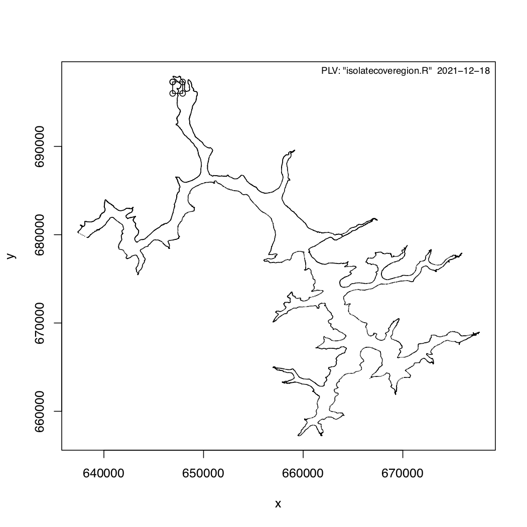
Figure 1 - The Isolated Region for Lake Pointe.
Figure 2 is a closeup of that region.
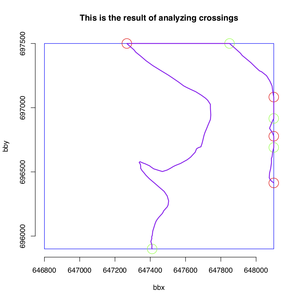
Figure 2 - The Bounding Box for Lake Pointe.
The R-script determined the crossings in and out of that region and accounts for the hard shoreline.
That then defines the extent of the water depth measurement set to be extracted from the whole lake set.